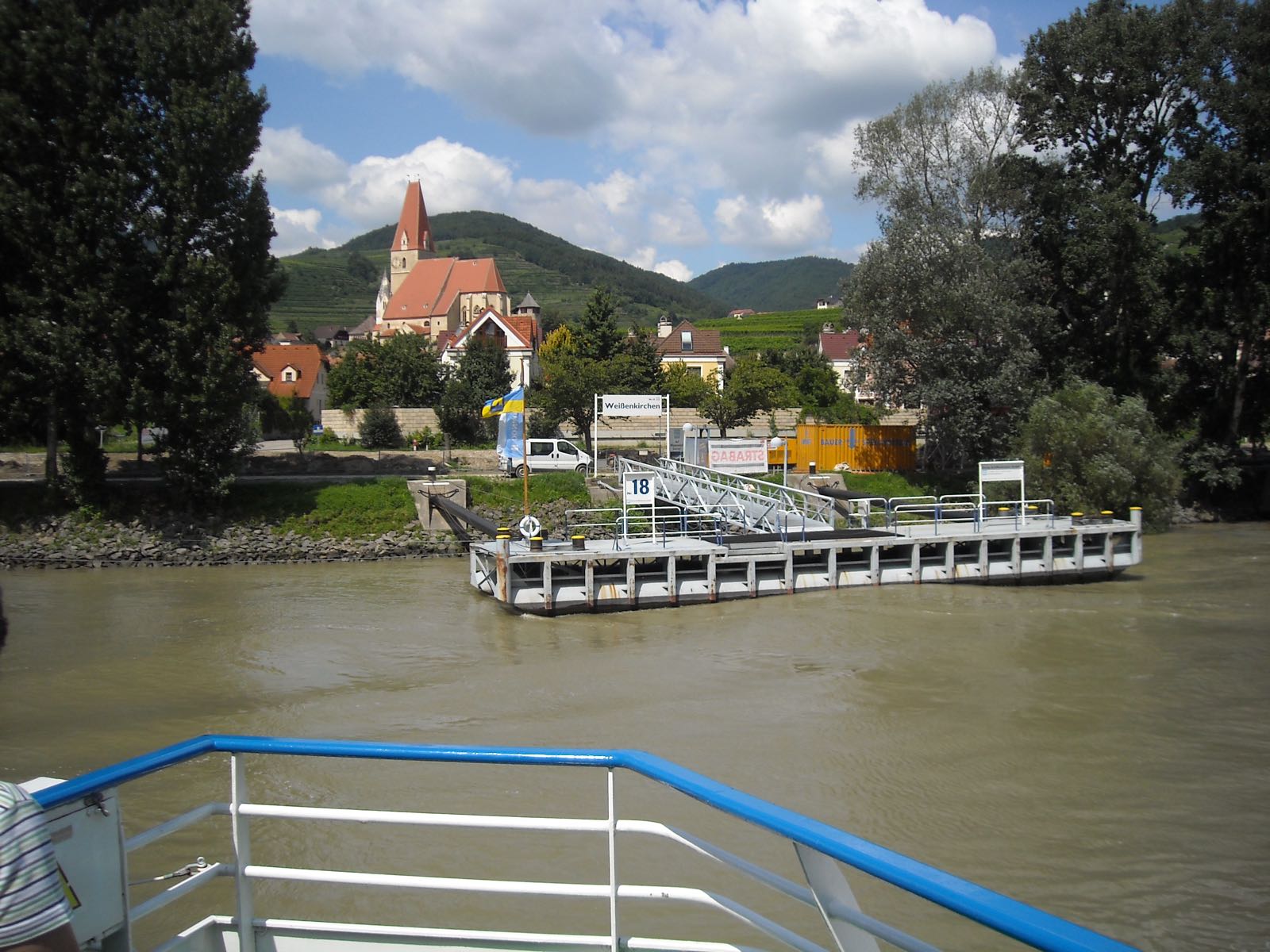
Usignola / Austria / Weißenkirchen in der Wachau
No. 067 / 068

Weißenkirchen in der Wachau

Lower Austria (Krems-Land) · Austria
UNESCO World Heritage Site (Wachau Cultural Landscape)
Coordinates
48.4, 15.4667
Population
1,429 (2018)
Elevation
224 m
Terrain
Riverside

Location

Weißenkirchen in der Wachau sits on the Danube's left bank beneath a fortified late-Gothic church that has doubled as a defensive structure since medieval river raids. A cable-guided ferry still crosses without engine or sail.

Wachau vineyard terracesfortified Danube churchcable ferry crossing
Getting There & Staying Nearby
Nearest airport
Vienna International Airport 98 km
Open map
Nearest station
Weißenkirchen in der Wachau — Village has its own stop on the Wachaubahn (Wachau Railway), a heritage tourist line.
Open map
Staying nearby
Wine-grower guesthouses (Heurige) along the Danube in the Wachau valley
Open map
Hotels & stays
Search accommodation on Booking.com
Booking.com →
Nearby
Fortified parish church overlooking the Danube, cable-ferry crossing, terraced vineyard walking trails
Open map
Map links go to generic Google Maps results with no tracking. The Booking.com link is an affiliate link — see our affiliate disclosure.
Sources & verification
Designation
Population
Elevation
Airport
Station