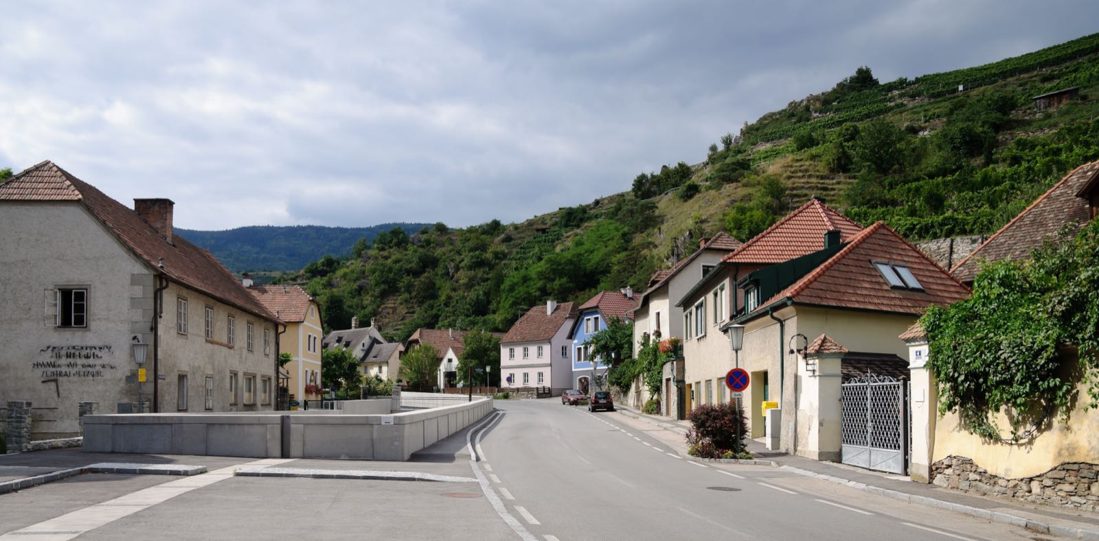
Usignola / Austria / Spitz
Spitz
Photo: MrPanyGoff · CC BY-SA 3.0 · Wikimedia Commons · taken 1.18 km from the village centre (coordinates from Wikimedia Commons)
No. 068 / 068

Spitz

Lower Austria (Krems-Land) · Austria
UNESCO World Heritage Site (Wachau Cultural Landscape)
Coordinates
48.35, 15.4167
Population
1,620 (2018)
Elevation
223 m
Terrain
Riverside

Location

Spitz an der Donau lies below the Tausendeimerberg, a terraced vineyard named for yielding a legendary thousand buckets of wine in one harvest. The ruined Hinterhaus fortress overlooks the village from the south.

Tausendeimerberg vineyardHinterhaus castle ruinWachau Danube valley
Getting There & Staying Nearby
Nearest airport
Vienna International Airport 95 km
Open map
Nearest station
Spitz an der Donau — Village has its own stop on the Wachaubahn heritage railway, hosting the Arbeitskreis Wachau regional office.
Open map
Staying nearby
Wine-grower guesthouses (Heurige) and small inns in the Danube valley
Open map
Hotels & stays

This page includes partner links. We may earn a commission if you use them to book or buy.

Search accommodation on Booking.com
Booking.com →
Nearby
Tausendeimerberg terraced vineyard, Hinterhaus castle ruin, cable ferry across the Danube
Open map
Map links go to generic Google Maps results with no tracking. The Booking.com link is an affiliate link — see our affiliate disclosure.
Sources & verification
Designation
Population
Elevation
Airport
Station