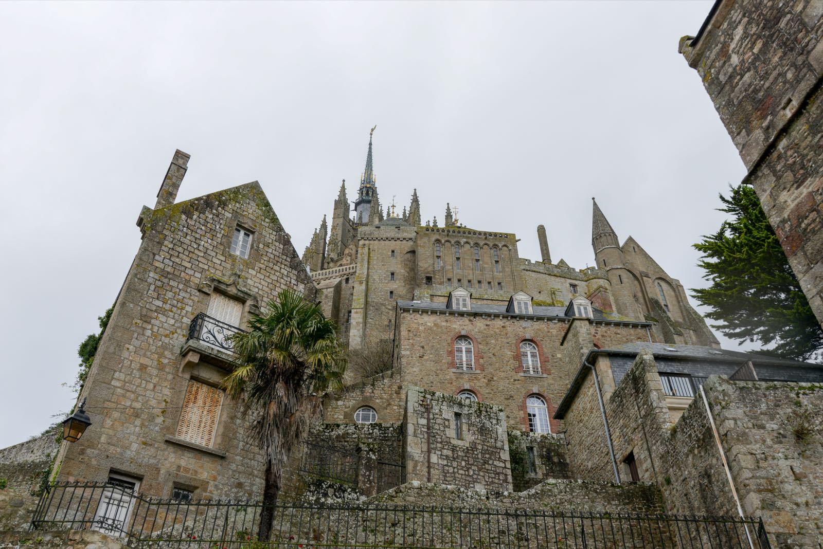
Usignola / France / Mont-Saint-Michel
No. 065 / 068

Mont-Saint-Michel

Normandy (Manche) · France
UNESCO World Heritage Site (Mont-Saint-Michel and its Bay)
Coordinates
48.636, -1.5114
Population
23 (2023)
Elevation
92 m
Terrain
Coastal

Location

Mont-Saint-Michel rises as a granite tidal island where a Benedictine abbey crowns a fortified village of 23 permanent residents. Tides here swing roughly 14 metres between high and low water.

tidal island abbeyMont-Saint-Michel BayBenedictine pilgrimage site
Getting There & Staying Nearby
Nearest airport
Dinard-Pleurtuit-Saint-Malo Airport 42 km
Open map
Nearest station
Pontorson-Mont-Saint-Michel 9 km — Shuttle buses timed to train arrivals connect the station to the mount.
Open map
Staying nearby
Guesthouses and small hotels in Pontorson and along the bay shoreline
Open map
Hotels & stays
Search accommodation on Booking.com
Booking.com →
Nearby
Mont-Saint-Michel Abbey, tidal bay crossings, ramparts walk around the fortified village
Open map
Map links go to generic Google Maps results with no tracking. The Booking.com link is an affiliate link — see our affiliate disclosure.
Sources & verification
Designation
Population
Elevation
Airport
Station