Usignola / France / Conques
No. 066 / 068

Conques

Occitania (Aveyron, commune of Conques-en-Rouergue) · France
UNESCO World Heritage Site (Routes of Santiago de Compostela in France)
Coordinates
44.6003, 2.3972
Population
237 (2021) frazione
Elevation
292 m
Terrain
Hillside

Location

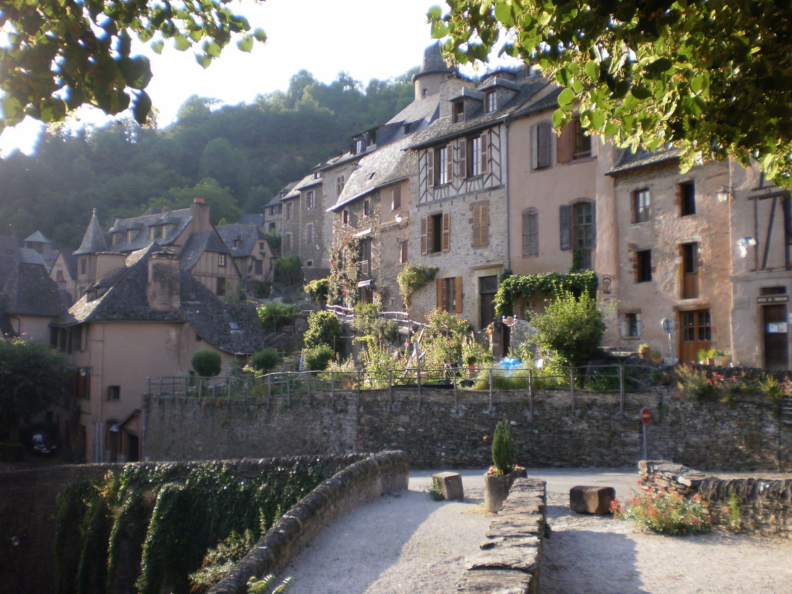
Conques clings to a steep valley slope at the confluence of the Dourdou and Ouche rivers, its medieval streets too narrow for buses. The Abbey Church of Sainte-Foy redirected pilgrims here on the route to Santiago de Compostela.

Camino de Santiago pilgrimageRomanesque tympanumDourdou valley
Getting There & Staying Nearby
Nearest airport
Rodez-Aveyron Airport 31 km
Open map
Nearest station
Rodez 38 km — No railway serves Conques directly; a daily minibus connects to Rodez station.
Open map
Staying nearby
Small stone guesthouses along the pilgrim route through the village
Open map
Hotels & stays
Search accommodation on Booking.com
Booking.com →
Nearby
Abbey Church of Sainte-Foy Romanesque tympanum, Camino de Santiago pilgrim trail, Port du Barry gateway
Open map
Map links go to generic Google Maps results with no tracking. The Booking.com link is an affiliate link — see our affiliate disclosure.
Sources & verification
Designation
Population
Elevation
Airport
Station